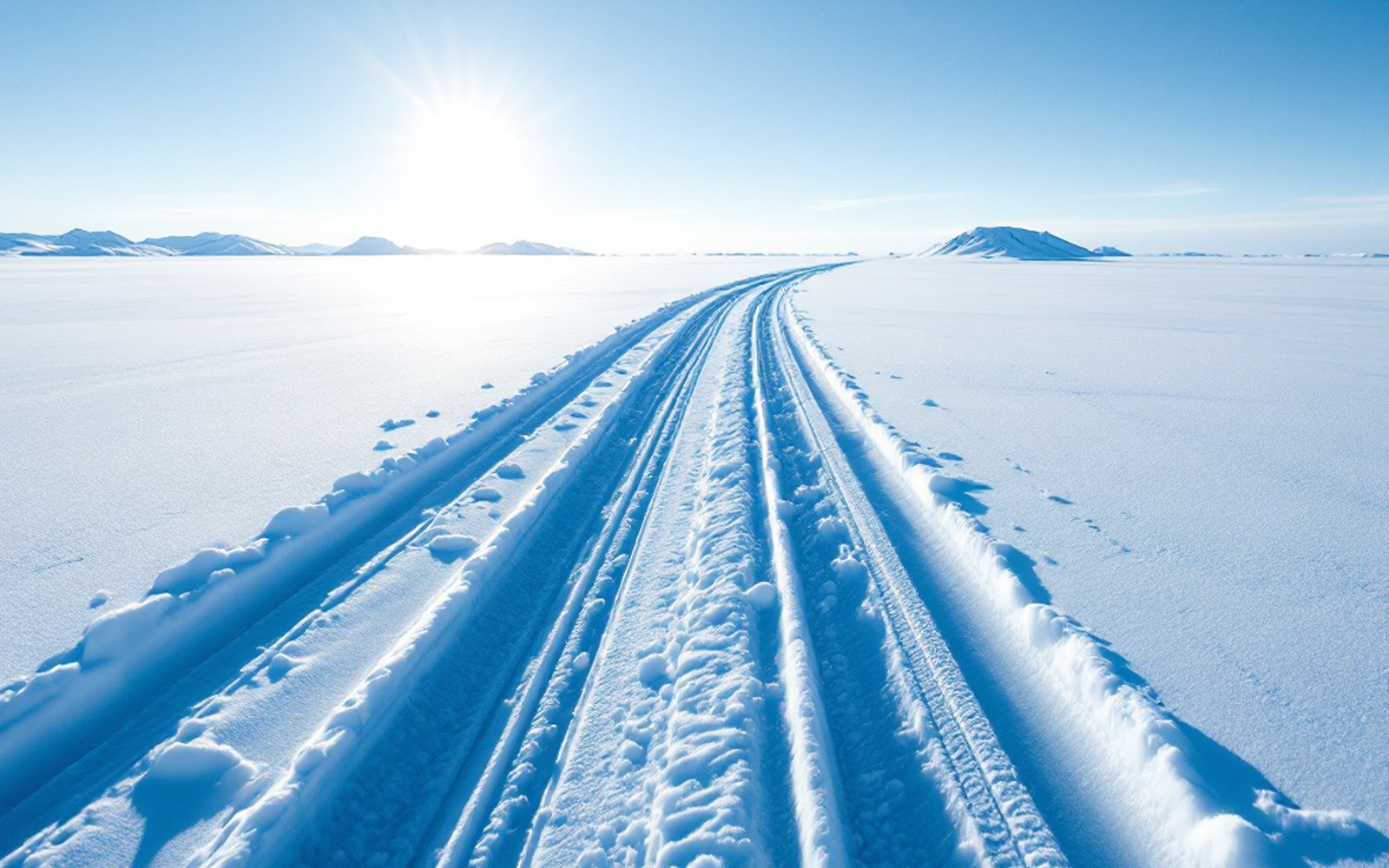
The season that makes movement possible
The working assumption most people bring to the Arctic is that winter closes things down. It does the opposite. Summer in the Wulik watershed means saturated tundra, open leads of braided river that shift channel by channel, no trails through a landscape that actively resists foot travel — every step either sinking into wet moss or turned by tussock hummocks, which grow knee-high in dense, ankle-turning fields across the coastal plain. Roads exist only where somebody built and maintained them at extraordinary expense. Everywhere else, the country is effectively impassable from roughly June through October. Then the ground freezes, the rivers skin over, and the whole landscape becomes a surface.
Freeze-up — the transition from open water to stable ice — typically arrives in October on the upper Wulik and works downstream toward the Chukchi coast. The timing matters acutely and is tracked because it determines when overland travel becomes possible and when the Dolly Varden and other char are safely locked into their overwintering reaches rather than still moving. Once rivers freeze to sufficient thickness, they become the roads. The Wulik, the Noatak, and the dozen smaller drainages feeding them are straighter and smoother than any tundra route, and they connect the mountain interior to the coast along the same corridors that summer travel follows by boat. The function switches with the season; the route does not change.
Permafrost is the structural reason this works. Permanently frozen ground — which underlies virtually the entire region, from the De Long Mountains down to the coast — stays rigid as long as the active layer above it stays cold. In winter, that active layer, which thaws annually to depths of perhaps half a metre or less in this latitude, refreezes from the surface down. The result is a regional platform of frozen ground. Vehicle travel, snowmachine travel, and the movement of loaded sleds all depend on a ground surface that would be liquid mud five months earlier. The same frozen substrate that creates structural headaches for buildings — because any heat conducted into the ground begins to thaw it — becomes, in its cold and stable state, the region's transport infrastructure.
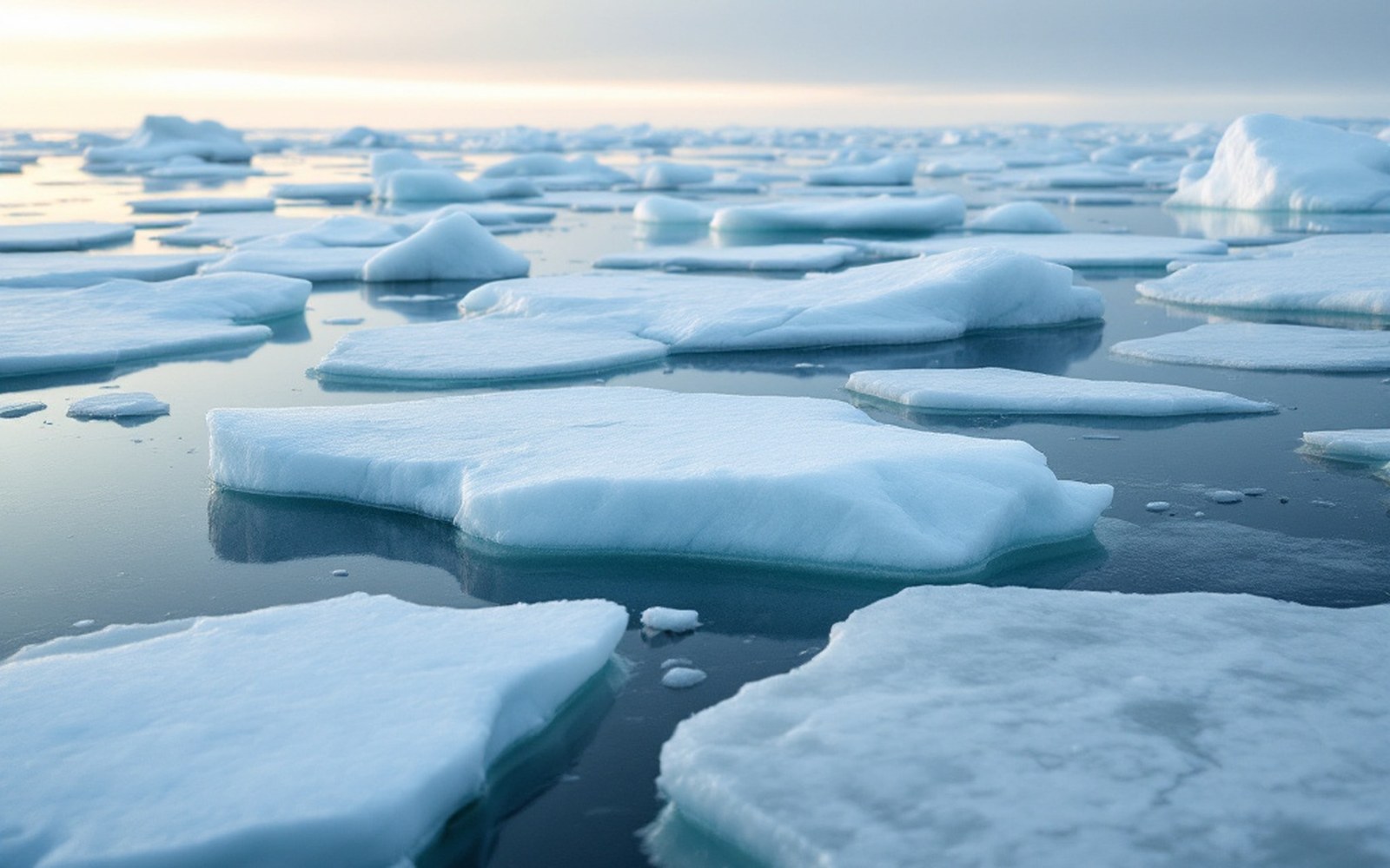
The transitions between ice and open water are the periods when neither boat nor snowmachine works, and they are lengthening. Freeze-up and break-up are the weeks nobody moves
What moves, and how
Snowmachines are the primary personal-travel technology here, as they are across rural Alaska. They are fast relative to any alternative, can cover terrain that would stop a wheeled vehicle, and can pull sleds carrying several hundred kilograms — firewood, harvested animals, gear, fuel. In a community like Kivalina, which has no road connection to anywhere and sits on a barrier island between the Chukchi Sea and a lagoon, winter opens access to the mainland interior in a way that summer simply does not. The lagoon freezes, and the coast freezes, and the country behind it becomes reachable.
The DeLong Mountain Transportation System road — the haul road running from Red Dog Mine to the port facility at the coast — operates year-round, but it is a single-purpose industrial artery serving the mine's concentrate shipments. Its existence does not change the basic calculus of movement for everyone else. The vast majority of travel in the watershed that is not mine-related still uses the frozen landscape directly, without pavement or gravel base, exactly as it always has. The road and the snowmachine routes exist in parallel, rarely intersecting in purpose.
Ice thickness is the governing variable and the constant preoccupation. River ice builds differently depending on current speed, water depth, whether there are open leads where warmer water wells up, and how snow accumulates and insulates the surface. The same river can be travel-ready in one reach and dangerously thin in another. This knowledge — which sections of which rivers carry first, where overflow (water pushed up through cracks onto the ice surface, which can hide weak spots) typically forms, where the current runs fast enough to keep ice thin — is accrued over generations and is specific to individual river reaches. No map captures it. The Alaska Earthquake Center and other monitoring agencies instrument this landscape for seismic and hydrological data, but the practical knowledge of ice conditions on a particular bend of the upper Wulik belongs to people who have traveled it repeatedly across many seasons.
The road that only winter builds
ANCSA — the Alaska Native Claims Settlement Act of 1971 — extinguished aboriginal title across Alaska and conveyed roughly 44 million acres and nearly a billion dollars to newly created Native corporations. The land conveyed to NANA Regional Corporation in this region became the legal ground on which Red Dog Mine was later developed. That settlement shaped who owns what and on what terms, but it did not reshape the physical geography of travel. Winter did that long before 1971, and continues to do it on the same terms.
The economic logic of winter travel is not merely traditional — it is contemporary and practical.
The economic logic of winter travel is not merely traditional — it is contemporary and practical. Fuel, building materials, and equipment that cannot arrive by air (because of weight and cost) and cannot arrive by barge in summer (because Kivalina has no harbour and lightering has a limited seasonal window) can in some cases move by snowmachine and sled over frozen ground when conditions allow. The shipping window for marine freight is roughly a hundred days; the overland winter season, when travel is reliably possible, can run from November into April in a good year. These are not the same thing, but they partially overlap in function, and communities have always used both.
The irony built into climate change — documented in studies of coastal erosion rates, later freeze-up dates, and reduced shorefast ice along the Chukchi coast — is that the season that makes travel and certain kinds of freight movement possible is now the season that is shortening. Shorefast ice, which once formed reliably enough to protect the coast and extend the overland season, forms later and breaks up earlier. The stable frozen platform that the entire non-road transport system depends on is narrowing at both ends of winter. That is not a projected risk. The erosion record and the agency studies examining Kivalina's situation have documented the trend since the 1990s; those studies form a continuous administrative record. The country still opens in winter. It opens less far, and for less time, than it did a generation ago.