What the De Long Mountains put into the river
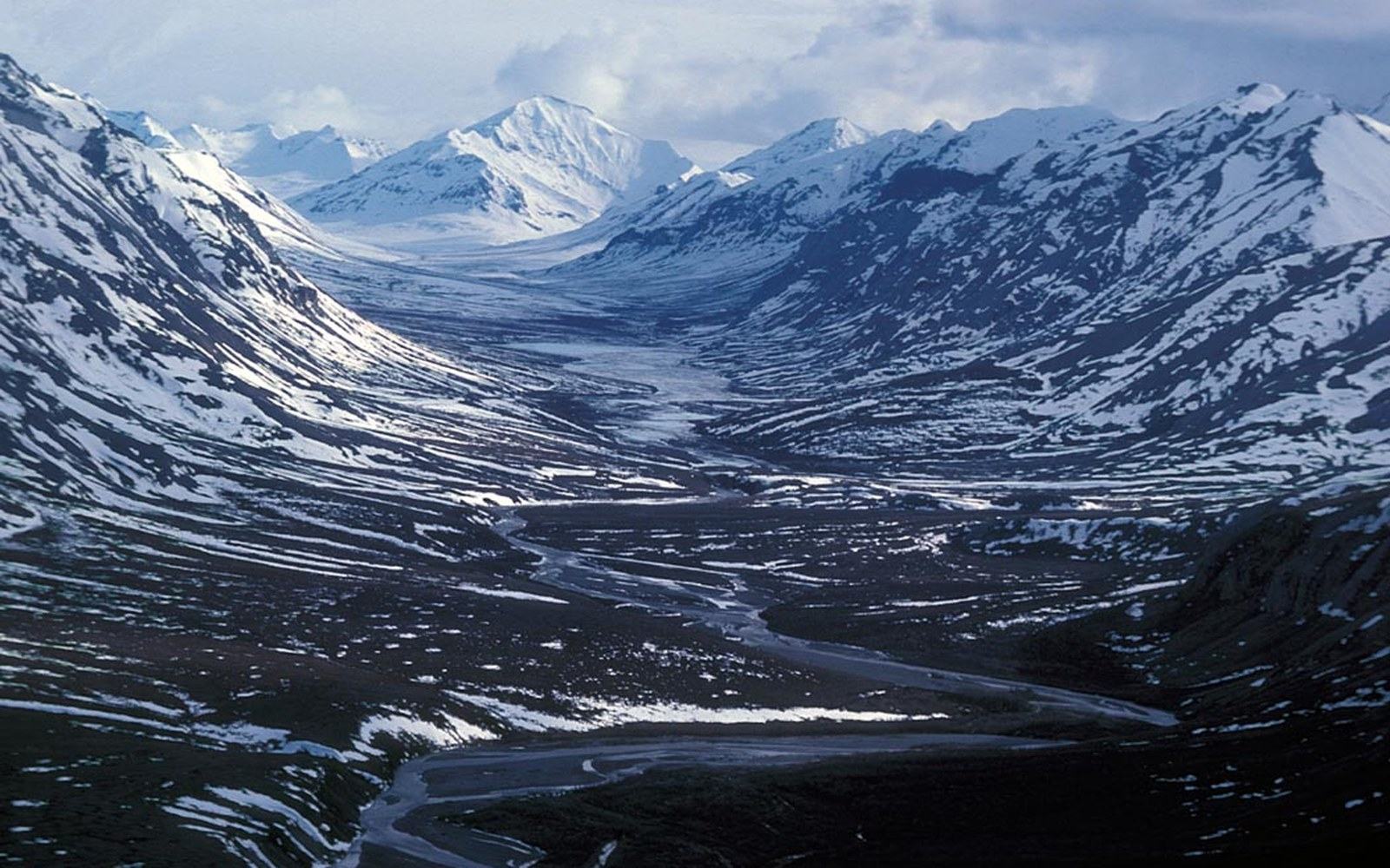
The Wulik River rises in the De Long Mountains, the westernmost arm of the Brooks Range, at elevations above 1,200 metres. The Brooks Range is not a volcanic system; it is a fold-and-thrust belt, ancient marine sediments compressed and uplifted over hundreds of millions of years, and the rocks exposed at its surface are predominantly limestone, chert and shale. That geology matters downstream. Limestone dissolves slowly in cold, slightly acidic meltwater, contributing calcium and bicarbonate ions that buffer the river's pH and give it a characteristic hardness — measurable, documented, and part of the baseline against which mine-related water-quality monitoring is compared.
The mountains also determine water temperature. Snowmelt and groundwater seeping through fractured rock and permafrost arrive at the river cold — consistently colder than most rivers at equivalent latitudes without high-elevation headwaters. Summer temperatures in the Wulik's upper reaches rarely climb above the low teens Celsius even during the warmest weeks of July. That cold is not incidental. Arctic char (Salvelinus alpinus) and Dolly Varden (Salvelinus malma), the two closely related salmonids that use this system, depend on cold, well-oxygenated water for spawning and overwintering. The mountains, by keeping the water cold, create the conditions the fish require.
Sediment load is the third factor the headwaters control. The De Long Mountains are geologically active — the Alaska Earthquake Center records moderate seismicity across the western Brooks Range — and the freeze-thaw cycle at high elevation works rock surfaces hard. Angular gravel and silt move into the river system during spring runoff and after summer rainstorms. But the Wulik runs clear for most of the year. The catchment above the mine is steep, and most of the fine material that enters the headwater tributaries settles in flatter sections before reaching the main stem. The result is a river that, in baseline conditions, runs with low turbidity — clear enough to see the substrate from the surface, which is part of what makes it legible as a fish habitat assessment site and why long-run monitoring here carries real comparative value.
What the mountains contain, and what that means
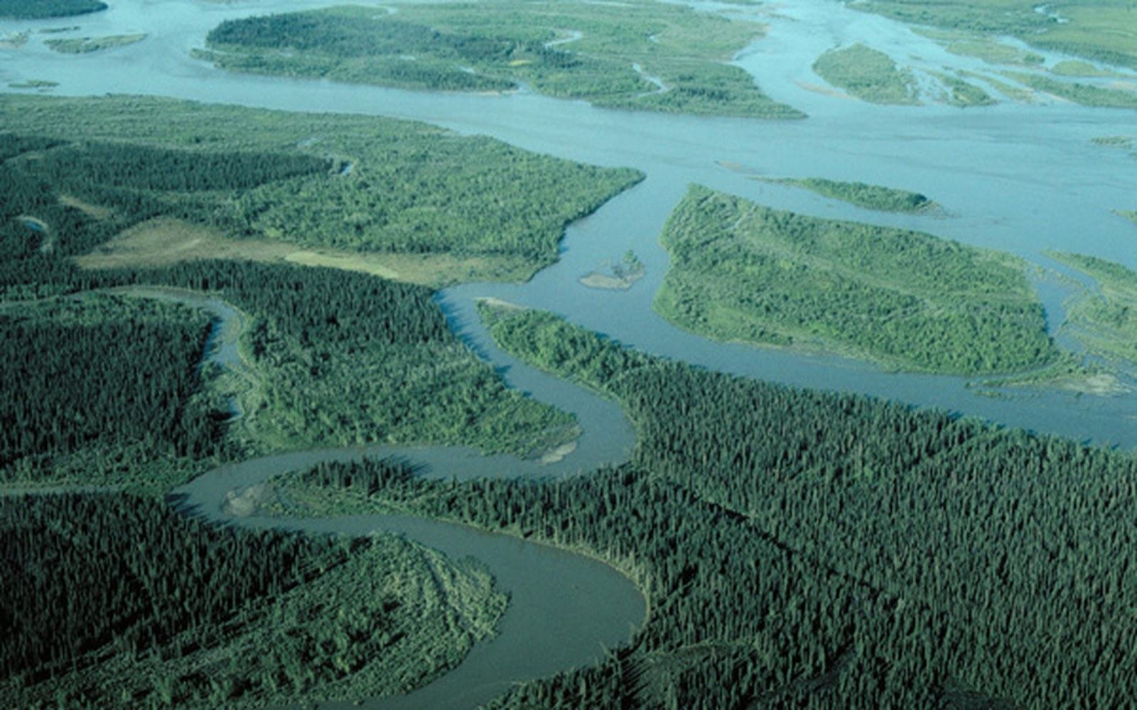
The Brooks Range is the source of something else: the zinc, lead and silver deposit at Red Dog, sitting in the upper Wulik watershed at roughly 670 metres elevation. The ore body is sediment-hosted — a type of deposit called a SEDEX (sedimentary exhalative) formation, laid down in ancient seafloor sediments that were later folded into the range. The same geological episode that built the mountains created the ore body. Red Dog is among the largest zinc deposits in the world, and its presence in this particular watershed is a direct consequence of the Brooks Range's formation history.
That co-location — a major mine and the headwaters of the same river — defines the monitoring obligation. The permitted discharges from mine operations must be measured against the natural baseline chemistry that the limestone geology of the De Long Mountains already contributes. Some elevated metal concentrations in the watershed predate the mine; distinguishing natural background from operational discharge is not a rhetorical point but a technical requirement of the operating permit and the condition on which discharge limits were set.
The mountains also set the transport geometry for the mine's output. There is no navigable route south or east from Red Dog; the ore moves southwest, toward the coast, along the road of the DeLong Mountain Transportation System to a port on the Chukchi Sea. The road follows the topography the mountains impose. Everything about the mine's logistics — the single annual shipping window, the coastal port, the haul distance — traces back to the shape of the range and where the ore body sits within it.
The De Long Mountains are, in this sense, the controlling variable for the whole system: they set the water's temperature and chemistry, they contain the ore, and they dictate the only practical corridor to the coast. The river is what the mountains make of themselves on the way to the sea.