What the river is, before anything else
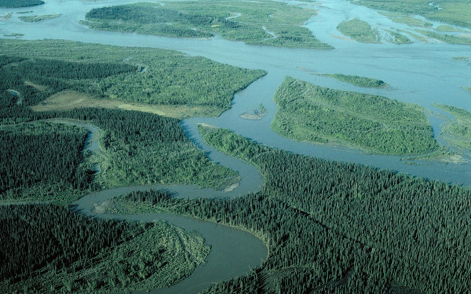
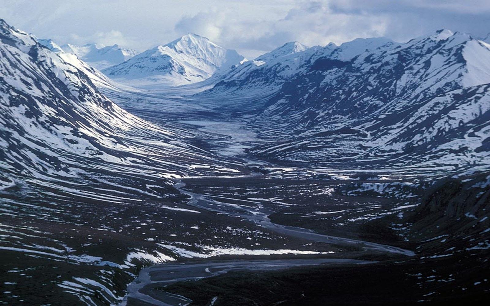
The Wulik rises in the De Long Mountains — the westernmost rampart of the Brooks Range — and drains roughly southwestward for about a hundred miles before it reaches the Chukchi Sea near Kivalina. Its headwaters sit above treeline, in a landscape of talus, snowfield and low tundra where organic material barely accumulates before freeze-up ends another short growing season. The result is water that carries very little dissolved carbon, very little suspended sediment and, when you stand on the bank in July, is clear enough that the gravel bottom twelve feet down looks close enough to touch.
That clarity is not unusual for an Arctic river with this kind of catchment. What is unusual is that it exists in the same watershed as one of the largest zinc mines in the world, and that this collision of conditions — pristine baseline against industrial operation — made continuous, long-run monitoring of the Wulik something the operating permit demands rather than something anybody chose to do as a courtesy. The river's natural state is precisely documented because so much turns on knowing exactly when and whether that state changes.
The watershed drains a geology that was never heavily glaciated in the way that scraped the soils from more southerly Alaskan ranges. The De Long Mountains are a fold-and-thrust belt pushed up over hundreds of millions of years, and their exposed rock faces weather slowly in a climate where liquid water is available only a few months a year. Runoff, when it comes at spring break-up, moves fast and cold over rock and gravel rather than percolating through deep organic soils. Summer rain is similarly short-lived: the drainage is steep enough that water reaches the main stem quickly rather than aging in bogs or wetlands. This is why the river's pH, conductivity and turbidity readings taken before mine development began looked the way they did, and why those pre-development figures remain the reference point in every subsequent argument about water quality in the Wulik.
How the water gets measured, and why that matters
Red Dog Mine, which began producing in 1989, sits in the upper Wulik watershed. The ore body is zinc and lead sulfide, and the mine's footprint — pits, tailings impoundments, process facilities — is all within the Wulik's drainage. Because sulfide minerals oxidise on contact with water and oxygen, producing acidic drainage that dissolves heavy metals, the regulatory question from the start was what the water leaving the mine's permitted discharge points was doing to the river below. That question requires a credible answer to a prior question: what was the river doing before?
Pre-development baseline sampling, combined with decades of continuous monitoring that the operating permit requires, has produced an unusually long dataset for an Arctic stream. Water-quality monitoring in the Wulik now spans a period long enough to distinguish seasonal variation — spring runoff is different from late-summer low flow, which is different from under-ice winter conditions — from year-to-year change, and to attribute particular readings to particular events or sources. Flow-weighted metal concentrations, turbidity, pH, conductivity and temperature are measured at stations above and below the mine's influence so that any difference between upstream and downstream is visible and documented with a date.
The permitted discharge limits, set by the Alaska Department of Environmental Conservation, specify the concentrations of zinc, lead, cadmium and other constituents that mine-process water must meet before it leaves the facility. Exceedances are reported, and the reporting record is public. What the river's natural clarity means in practical terms is that the allowable concentrations are genuinely low: a river this transparent has correspondingly low natural background levels, so the standard is tight. There is no hiding a plume in a river you can see through.
What uses that clarity, and what depends on it
The Wulik supports Dolly Varden char — the principal fish of the river — along with some chum salmon in its lower reaches. Dolly Varden are anadromous, moving to the sea to feed in summer and returning to specific river reaches to overwinter under the ice. Their winter survival depends on the dissolved-oxygen regime of those reaches, which in turn depends on water chemistry and flow. A river with high organic loading can deplete oxygen under ice cover; the Wulik's low-carbon, high-clarity water is part of what makes it functional overwintering habitat year after year.
This cycle turns on numbers, and the numbers only mean something if you know what the river looked like before.
Subsistence harvest of char by Kivalina residents — and to a lesser extent by people from Kotzebue and Noatak — is organised around the fish's return migration in late summer and fall. The timing, the volume and the location of harvest are tied to the same river conditions that the monitoring network measures. This is not a coincidence or a symbolic connection: it is the same physical system, and a change in water quality that affected the fish population would register in the harvest before it registered anywhere else. That practical dependency is part of why the clarity baseline matters to the people who use it, not just to the agencies that permit the operation above it.
The river's lower reaches run through the coastal plain near Kivalina, where the land-management framework established by ANCSA — the Alaska Native Claims Settlement Act of 1971 — conveyed surface and subsurface rights across the region to NANA Regional Corporation. NANA holds the land on which the mine operates and is party to the royalty-sharing and operating agreements that govern Red Dog's terms. The corporation's interest in the river's condition is therefore both economic and proprietary: the watershed is a NANA asset regardless of which metric you apply to it.
The stretch this piece is about: Kivalina at the mouth, Red Dog at the head, the De Long Mountains behind both.
Geometry: project map kit
The argument the clarity anchors
There is a recurring structure to disputes about mining and water in Alaska. An operator argues that its discharge meets permit limits. A monitoring agency publishes data showing what the receiving water looks like downstream. A community or a conservation group argues that the permit limits themselves are insufficient, or that cumulative effects are not captured by point measurements, or that a trend is emerging that single-year readings obscure. A regulatory body reviews the evidence and either maintains, tightens or loosens the standard. This cycle turns on numbers, and the numbers only mean something if you know what the river looked like before.
The Wulik's clarity is the datum that gives every party to this argument a place to stand. Without the pre-development baseline and the continuous monitoring record, the debate would be about models and projections. With it, the debate is about specific measurements, specific dates and specific concentrations — a much more tractable kind of argument, even when the parties disagree about what the measurements mean. The Alaska Department of Environmental Conservation's water-quality database holds discharge monitoring reports and receiving-water data for the Wulik going back to the early years of mine operation: a long, detailed record that is publicly accessible precisely because the permit requires it to be.
A river clear enough to see the bottom of is not a wilderness amenity. Here it is a legal instrument, an ecological reference point and, for the char and the people who harvest them, the condition on which everything downstream depends.