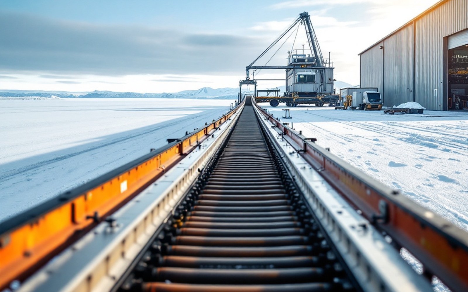
A conveyor gallery running to a storage building
A zinc mine at the head of the watershed

One of the largest zinc mines in the world, at the head of a river

Red Dog is a major zinc producer sitting in the Wulik's upper watershed, which is why water quality here is monitored as closely as it is.

Read it

Above: the concentrate conveyor at the coast, the far end of the operation this piece is about
Supporters

Entities rooted in this watershed, its extraction, and its people.

And the roll behind them

An act of Congress1971

An act of Congress extinguished aboriginal title and made corporations the landowners.

First production1989

Red Dog began producing zinc at the head of the Wulik’s watershed.

Freeze-upthe sea ice

Shorefast ice used to form before the autumn storms. It forms later now.

02Char

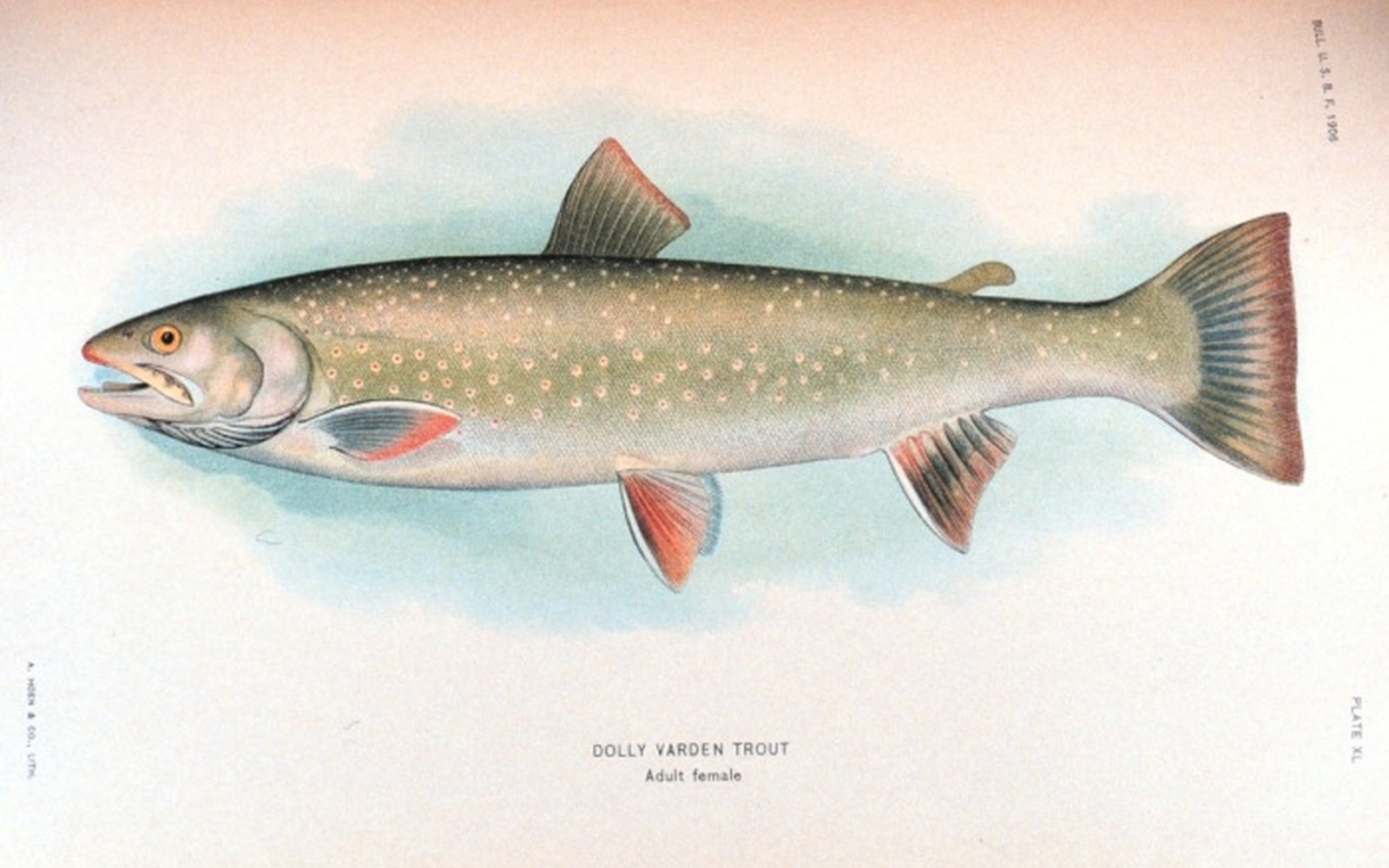
One fish organises the year

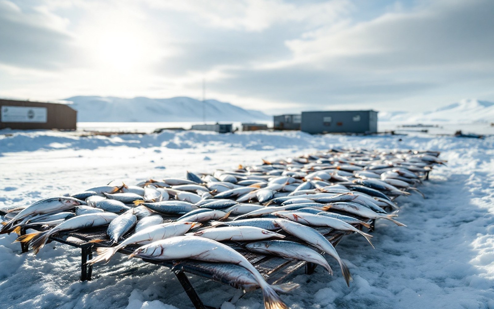
Dolly Varden feed at sea and come back to a handful of spring-fed reaches to survive the winter. The harvest, and most of the year, is organised around where they are.

All three pieces in Char →

A river clear enough to see the bottom of is a legal instrument here: it is the baseline every permit argues against.

The river, and why it is clear →

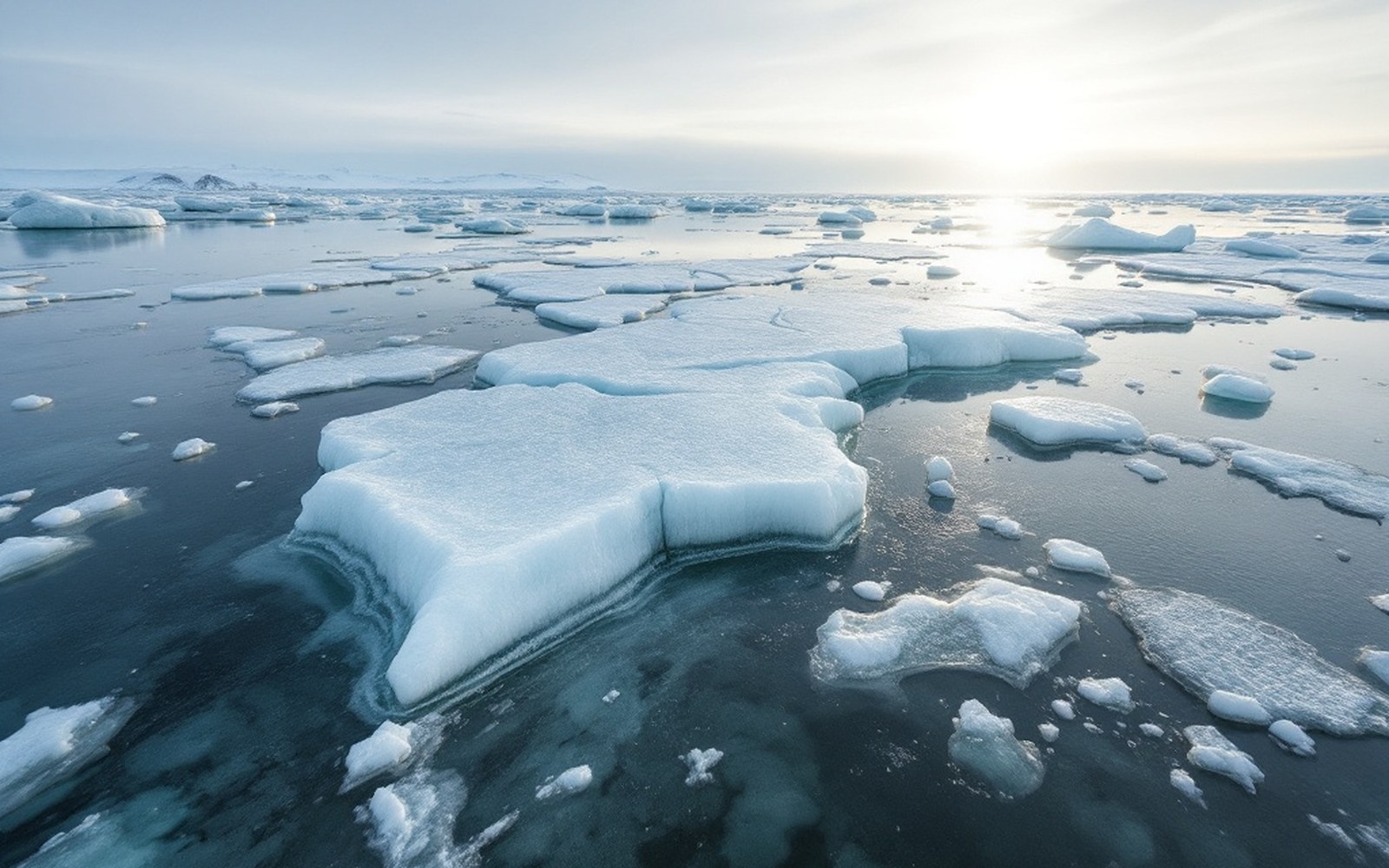
Broken ice pans on grey water, low light
04Shorefast ice was the shoreline’s armour, and it now forms after the first autumn storms. Ice →
Northwest Alaska: the Wulik drainageChukchi Sea coast · Northwest Arctic Borough
  1. Kivalina
  2. Red Dog Mine
  3. Noatak
  4. Kotzebue
  5. Cape Krusenstern
  6. De Long Mountains
SettlementIndustrial siteLandform or capeInset: this frame within AlaskaEach marker links to the piece about it

Kivalina sits at the mouth. Red Dog sits at the head. The road between them is the only overland link either has.

Geometry: project map kit

09Kivalina

A village being moved

The relocation studies, and the decades they cover. The island has been narrowing for decades and the record of what to do about it is now longer than most of the buildings on it.

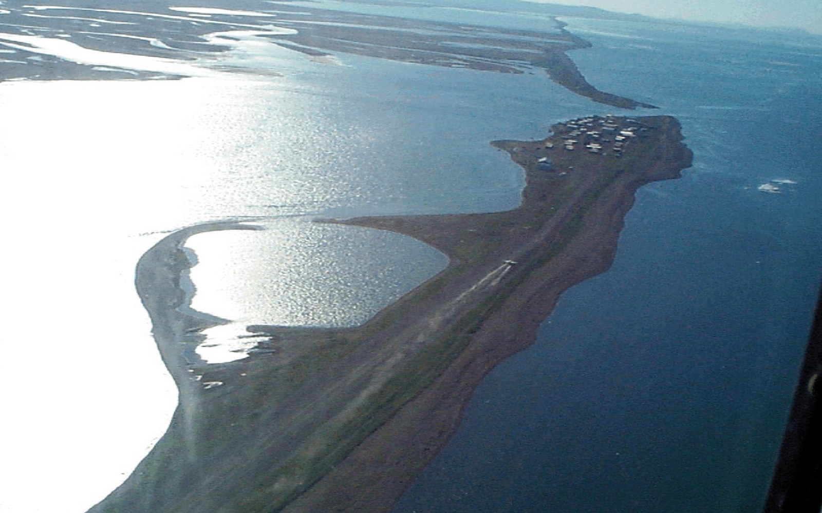
The place the marker sits onAerial view of a narrow barrier island village between a lagoon and the sea

The Kivalina marker on the map, from the air: lagoon on the left, the Chukchi on the right, the airstrip running the length of the spit. Everything in this section happens on that strip of gravel.

Photo: Kivalina Alaska aerial view · Wikimedia Commons

04Across four sections

Four more from the same fifty miles

The full archive →
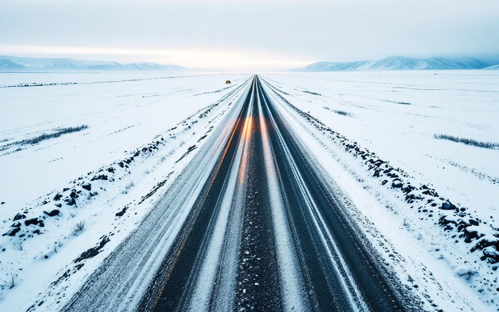
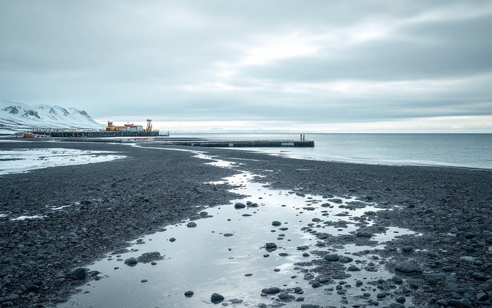
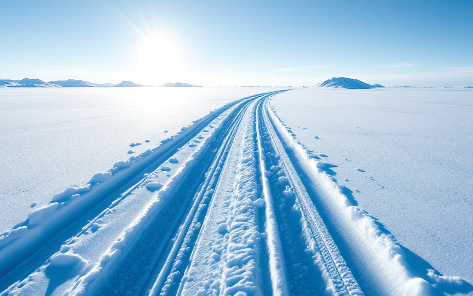
The RoadA gravel haul road running straight across tundraA private road built for one customer PortA shallow shoreline with a jetty and open sea beyondA port with no harbour, so the ships stay offshore Ground MotionA clean vertical fracture through dry bedrock with the two faces offset, macro, hard raking light, no ice and no snowThe second largest earthquake ever recorded OverlandA single narrow snowmachine track curving away over unbroken snow seen from low down, long blue shadows, no road and no vehicleWinter is when the country opens up

All sections  ·  Archive