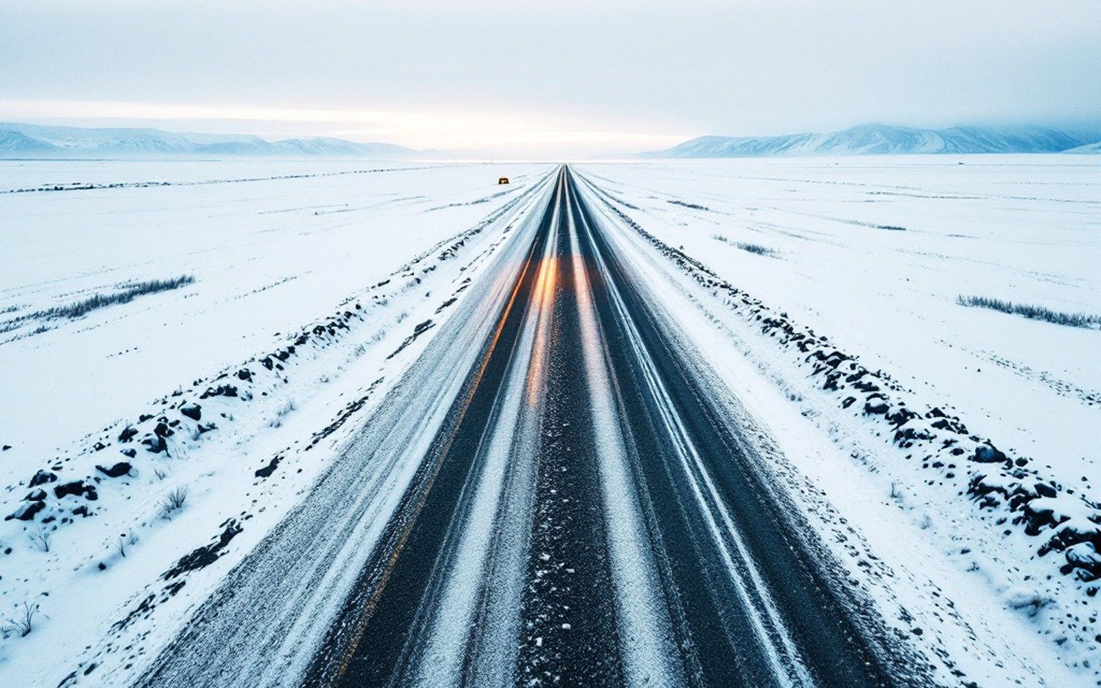
The DeLong Mountain Transportation System exists because a mine at the head of the Wulik needs the coast
The road is about fifty-two miles long, it runs from the Red Dog Mine south and west to a port facility on the Chukchi Sea, and it was built for one reason: to move zinc and lead concentrate from the world's largest operating zinc mine to ships that cannot come to shore. The DeLong Mountain Transportation System, as the full infrastructure is formally named, is not a public highway. There is no fuel stop, no lodge, no general access. The road is a private industrial haul route, and everything about its design and operation reflects that single purpose.
It was built by Cominco Ltd. — the Canadian mining company that operated Red Dog before Teck Resources eventually took over the project — in the late 1980s, constructed in concert with the mine itself. Red Dog began production in 1989, and the road and port came online to serve that schedule. The engineering task was substantial: build a road across trackless tundra above the Arctic Circle, in a landscape of continuous permafrost, with a construction season measured in months and a freeze-up that ends everything.
Building on frozen ground
The fundamental engineering problem is the same one that governs every structure in this region: permafrost. Ground that has been frozen for thousands of years stays stable so long as it stays frozen. Add weight, drainage disruption or heat, and it thaws. When it thaws, it loses bearing capacity, and a road built on it without careful management will deform, settle unevenly and eventually fail. The DMTS road addresses this with a deep gravel pad — the same principle applied to mine buildings, bridges and the port facility. Gravel lifts the road surface away from the permafrost layer beneath, acting as thermal insulation as well as structural fill, and allows drainage to move laterally without saturating the substrate.
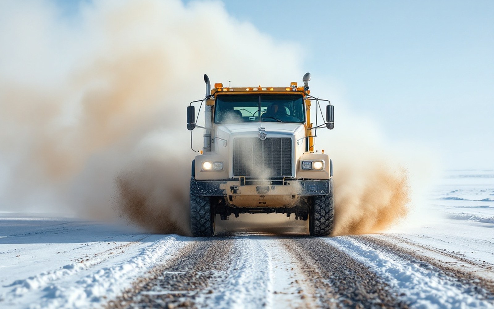
Dust from haul roads is monitored because it settles on tundra and snow well beyond the corridor itself. A gravel road is also a dispersal mechanism
The gravel itself came largely from quarried deposits along the route, which is standard Arctic road construction practice. The route was engineered to avoid the worst ground where possible and to cross rivers and streams with bridges rather than culverts that would restrict passage and warm water. The Wulik and its tributaries are crossed within the watershed, and the permitting conditions attached to those crossings have always been specific: the char that use this river depend on cold, clear water, and any construction-related sediment load or temperature change is a documented concern that regulators track.
What moves on it
The road carries two things in significant volume: zinc and lead concentrate outbound, and diesel fuel and supplies inbound. The concentrate is loaded at the mine, hauled in purpose-built trucks to the port facility at DeLong Mountain Terminal on the coast, stockpiled, and then lightered out to anchored vessels during the open-water shipping window, which runs roughly from late July to early October depending on ice conditions in a given year. Fuel moves the opposite direction, arriving by ship and trucked back to the mine to run the operation through the winter.
The trucks are large, and the haulage volumes are correspondingly significant. Red Dog is one of the world's largest zinc producers; in years of full production, the annual tonnage of concentrate moved along this road runs into the hundreds of thousands of tonnes. The road was designed from the outset to carry that load without interruption, which is why its engineering standards more closely resemble a well-built mining haul road than a rural state highway, even though in Alaska's road network classifications it occupies an unusual position: private, but vital to an operation of national economic significance.
Access and oversight
Because the road crosses land held by NANA Regional Corporation — the Alaska Native regional corporation whose shareholders hold the subsurface and surface rights across this part of Northwest Alaska — access to the DMTS is governed by the operating agreement between NANA and Teck, not by public road law. The land tenure that makes this possible flows from the Alaska Native Claims Settlement Act of 1971, which extinguished aboriginal title across Alaska in exchange for land and money conveyed to regional and village corporations. ANCSA created the legal framework within which NANA holds its approximately 2.2 million acres in the region, and it is that title that allowed NANA to negotiate the terms on which the road and port were constructed.
This is not incidental — it is a monitored environmental variable with its own regulatory history.
The practical result is that a driver does not simply turn onto the DMTS. Authorized vehicles, authorized personnel, specific operating conditions: access to the road requires coordination with the operating entity, and the community at Kivalina — the nearest settlement, on the coast — has negotiated its own terms over the years governing what the road means for local travel across the land. The route does provide a degree of ground-level access to terrain that would otherwise be reachable only by aircraft or, seasonally, by snowmachine, but it is not a public road in the ordinary sense, and it is not maintained as one.
Dust as a measured side effect
A gravel haul road in an Arctic environment generates dust. This is not incidental — it is a monitored environmental variable with its own regulatory history. Fine particulate matter from the road surface settles onto tundra and snow on either side of the route, and because snow in this region is part of the hydrological cycle that feeds the Wulik and its tributaries, dust deposition has implications beyond aesthetics. Lead and zinc are present in the ore, present in the concentrate and present in the dust. Monitoring programmes track deposition rates and metal concentrations in vegetation and soil alongside the road corridor. The Alaska Department of Environmental Conservation has oversight of these monitoring requirements, which are tied to the operating permit conditions that govern the mine and its associated infrastructure.
The stretch this piece is about: Kivalina at the mouth, Red Dog at the head, the De Long Mountains behind both.
Geometry: project map kit
The dust question is also connected to the road's surface management. Calcium chloride is applied as a dust suppressant during the operating season, a standard practice on industrial haul roads. The application rates, timing and conditions under which it is used are documented in operational reports. Whether those measures are sufficient has been a recurring question in environmental review processes associated with permit renewals.
One customer, one road
What the DMTS demonstrates, taken as a whole, is the economics of remote-resource extraction. A mine at this scale, in this location, required the construction of its own purpose-built supply chain from the ground up: road, port, lighterage fleet, all of it capitalized as part of the project, all of it owned and operated in service of a single destination. The road does not connect communities. It does not open new territory to general settlement. It moves zinc. That clarity of purpose is what makes it worth understanding as a piece of infrastructure: it is one of the most explicit examples on the continent of a transportation system built not for a public but for a commodity.