What the measurements show
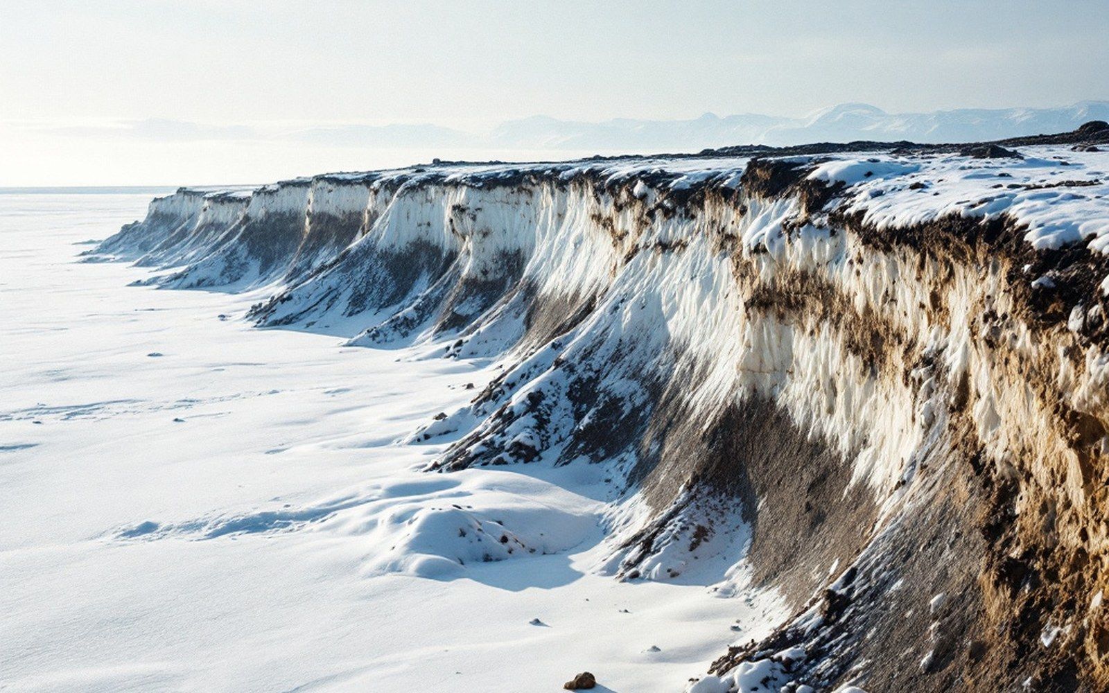
The Alaska shoreline is among the most actively eroding in the world, and the northwest coast around Cape Thompson and the Chukchi Sea provides some of the most documented examples. The United States Geological Survey and the Army Corps of Engineers have tracked shoreline positions along this coastline using aerial photography going back to the mid-twentieth century, comparing historic baselines against more recent surveys to produce annualised loss figures. For the barrier island on which Kivalina sits, those figures have repeatedly come out above three metres per year, with some reach-specific measurements running higher in years when autumn storms strike an unprotected coast.
The mechanism is straightforward and has two linked parts. Arctic beaches have historically been shielded through the storm season by shorefast ice — ice that forms against the coast and absorbs wave energy before it reaches the shore. When that ice forms later in the year, storms in September and October arrive at an exposed beach instead of an armoured one. The waves that break there move sediment offshore. Because the island's substrate is largely unconsolidated sand and gravel sitting over permafrost, a single storm can remove material that took decades to accumulate. Thawing permafrost within the beach face accelerates this: frozen sediment that once held its form disaggregates once the ice in its pores melts, and the wave has less work to do.
Why the number matters beyond the beach
Erosion rates are not only a physical measurement; they are the evidentiary basis for the relocation studies that agencies have been producing since the 1990s. A study that establishes three-metres-per-year average loss, combined with a survey of the island's current width at its narrowest crossing points, produces a timeline. That timeline is what converts a general observation — the island is eroding — into an administrative determination that existing infrastructure has a finite and calculable remaining service life. The Army Corps of Engineers' 2006 study of Alaskan villages threatened by erosion and flooding ranked Kivalina among the communities facing imminent threat, defined as requiring action within ten to fifteen years. That ranking rested directly on the annualised loss figures, not on narrative accounts of storm damage.
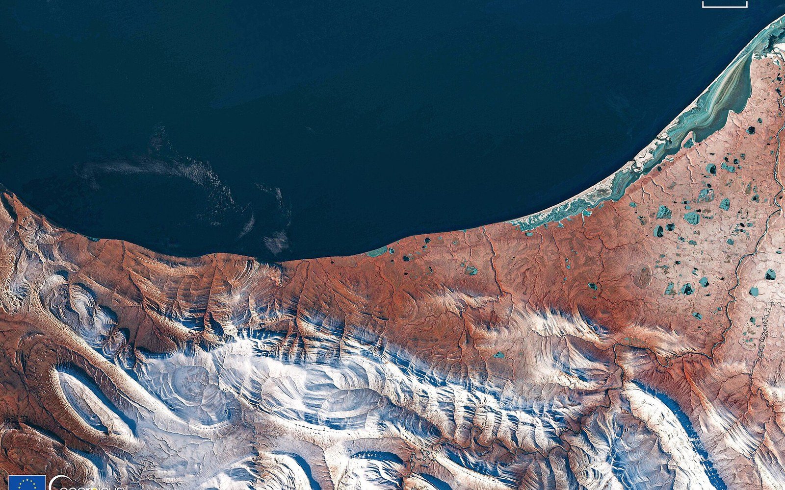
Shorefast ice formed early enough to protect the coast through the storm season. It now forms later, and the storms arrive at open water. The sea used to freeze before the autumn storms
Photo: Ice-free coastal area, Chukchi Sea, Alaska · Wikimedia Commons
The island has no room to absorb error in those measurements. At its narrowest it is, in places, only a few hundred metres wide. The airstrip, the school, and the water and fuel infrastructure are all on the same piece of ground. There is no interior to retreat to; the island is bounded by the Chukchi Sea on one side and the Wulik River's coastal lagoon on the other. When the Corps or the USGS updates its shoreline-change database, the Kivalina figures are among those that communities, tribal councils, and state and federal agencies watch because they directly index how much time is left before the ground beneath critical infrastructure is gone.
Measurement as a practice
The USGS National Assessment of Shoreline Change programme tracks these rates systematically. Data collection methods have evolved — from manual digitising of aerial photographs to lidar surveys and satellite-derived shoreline detection — but the output is always the same form: a rate, in metres per year, positive or negative, with an uncertainty range. For erosion-threatened communities in Alaska, that number is read not as an abstract geomorphological finding but as a clock. Three metres per year on an island several hundred metres wide is not a geological observation on the scale of centuries. It resolves at the scale of a planning horizon, a school bond, a child's time in the building.
The physical and administrative records converge on the same point: this is not a coast where erosion is an ambient background condition. It is the primary engineering constraint on everything else — what can be built, what can be insured, and how long anything placed on that ground can be expected to remain there.