What the ice did
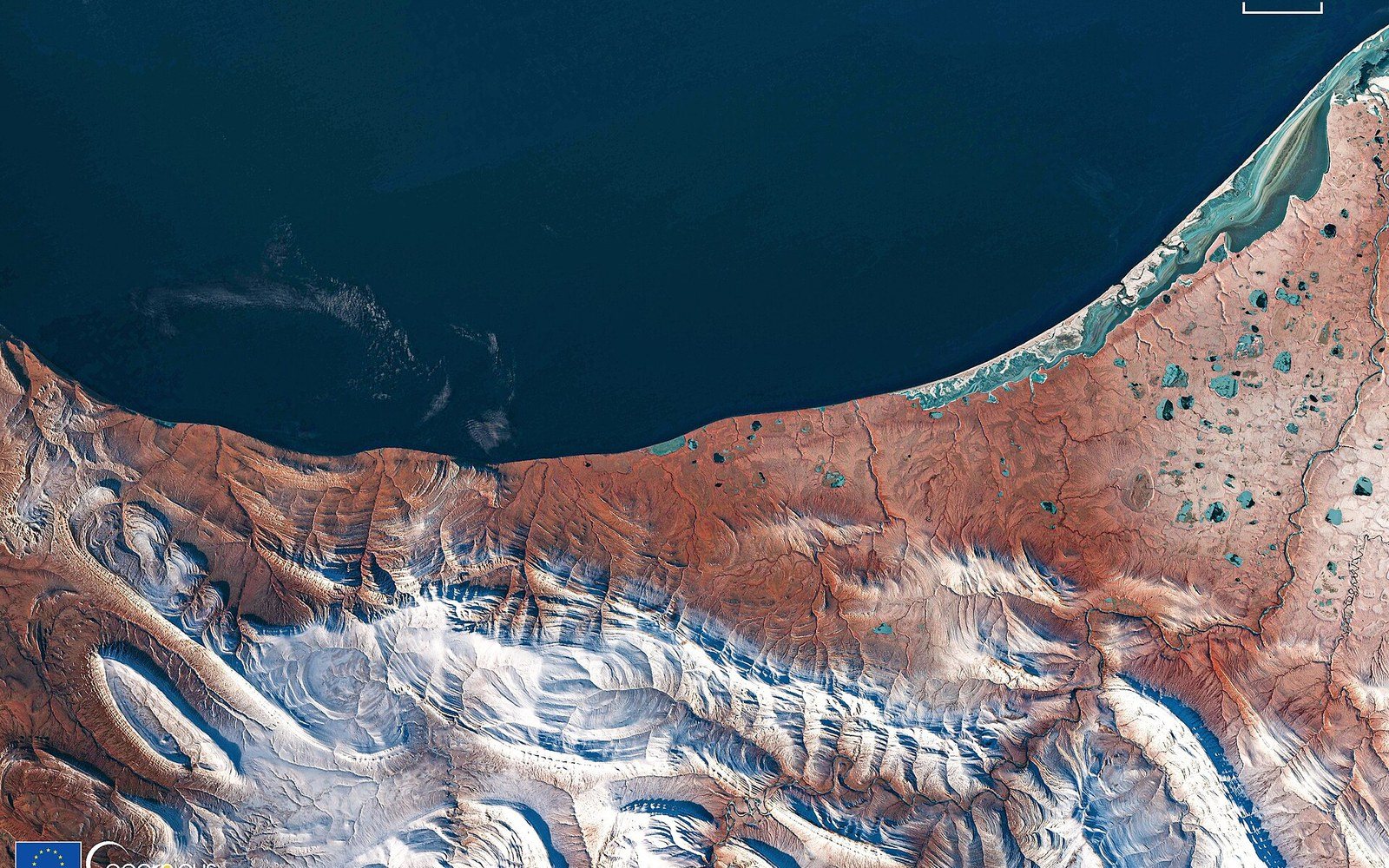
The Chukchi Sea coast north of Kotzebue runs without harbour or headland for hundreds of kilometres. Nothing interrupts the fetch. In autumn, storms drive waves across open water and spend themselves on barrier islands and low gravel spits — the same ground that holds Kivalina, the same ground the village has stood on since long before any federal survey recorded it. For most of the twentieth century, shorefast ice — shore-anchored sea ice that bonds to the beach and extends seaward as a rigid platform — formed early enough in the season to be in place before the major autumn storms arrived. The ice absorbed the wave energy. It held the sediment in place. It was not passive shelter; it was load-bearing infrastructure, and it worked for free.
Shorefast ice forms when air temperatures drop far enough, for long enough, that nearshore water freezes and anchors to the bottom or the beach face. On the northwest Alaska coast, that process historically produced a reliable platform by October, sometimes earlier, and the platform persisted into June. Freeze-up and break-up were the hinges of the year — not just for travel and harvest, but for the physical integrity of the coastline itself. A coast armoured in ice could take a November gale without losing material. An unarmoured coast cannot.
The mechanism that has changed is timing. Arctic sea surface temperatures have risen, the seasonal ice pack retreats earlier in spring and returns later in autumn, and the nearshore water that must cool and freeze before shorefast ice can form arrives at freeze-up still holding summer heat. The ice forms weeks later than historical norms — and the storms do not wait.
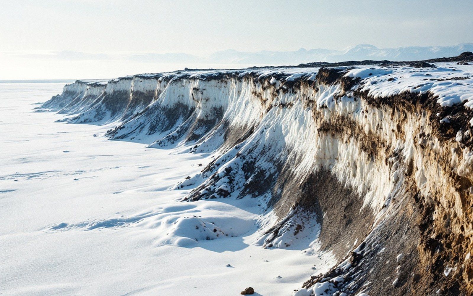
Erosion rates along this coast are documented annually, and they are the number the relocation case rests on. Coastal erosion is measured in metres per year here
What the record shows
The connection between reduced sea ice and accelerated coastal erosion in the Arctic has been documented across multiple research programs and is now a standard finding in the literature. The US Geological Survey and the Alaska Division of Geological and Geophysical Surveys have both measured erosion rates along the Chukchi and Beaufort Sea coasts, and the documented rates at several sites exceed two metres per year, with some locations recording far higher losses in individual storm events. The barrier island on which Kivalina sits has been losing width on both the ocean-facing and lagoon-facing shores.
The relationship is not simply that there is less ice overall. It is that the seasonal window without ice now overlaps with the peak storm season in a way it historically did not. Autumn in the Bering and Chukchi seas produces the most energetic wave conditions of the year — fetch is long, storms are frequent, and the water has had all summer to build up thermal mass. When shorefast ice was present through that window, wave energy was dissipated before it reached the shore. The ice was also continuous with the sea-ice pack, and the pack itself damped wave propagation across open water. Both effects have weakened as the pack retreats later into autumn.
Satellite-derived sea ice extent data maintained by the National Snow and Ice Data Center shows the long-run decline in Arctic sea ice extent across all seasons, with the autumn minimum — the point at which the pack is smallest before winter regrowth — reaching successive record lows in recent decades. For the Chukchi Sea specifically, the open-water season has lengthened substantially since systematic satellite observation began in 1979. That lengthening falls disproportionately at the autumn end: the ice leaves earlier in spring and returns later in autumn, and both shifts extend the period during which the coast is exposed.
What it means for Kivalina
Kivalina is the point on this coast where the administrative consequences of that physical change have been most formally documented. The village of roughly four hundred residents sits on a narrow barrier island between a lagoon and the Chukchi Sea, close to the Wulik River mouth. The island has no elevation to speak of — most of it lies only a few metres above mean sea level — and its width has decreased measurably over recorded time. Studies examining the feasibility of relocating the village began in the 1990s and have accumulated since; the studies cite erosion and the loss of shorefast ice as primary physical drivers, and they document that storms which previously ran into an ice platform now run directly into the island.
Cape Krusenstern, north of Kotzebue, and the coastline near Cape Thompson show similar dynamics.
The formal relocation process moved through federal and state agencies over the following decades. What the studies consistently found was not a distant future risk but a present structural problem: the revetment built to protect the ocean-facing shore requires maintenance and extension, and it addresses symptoms rather than the underlying condition, which is that the coast is no longer seasonally armoured. The Army Corps of Engineers' review of Kivalina as part of its Alaska Baseline Erosion Assessment placed the village among the communities facing imminent threat, a designation that reflects both the erosion rate and the loss of ice protection.
The economic and logistical difficulty of relocation is substantial — moving a school, a water system, an airstrip and all associated infrastructure in a region with no road access and a short construction season — but the physical argument for it rests squarely on the ice record. The question that drove the earliest studies was not whether the island was eroding but whether the erosion could be reversed or stabilised. The consistent answer was that it could not, because the shorefast ice that had historically stabilised it was no longer reliably forming in time to matter.
The stretch this piece is about: Kivalina at the mouth, Red Dog at the head, the De Long Mountains behind both.
Geometry: project map kit
The broader coast
Kivalina is the most studied point, but it is not the only one. Communities elsewhere on the northwest Alaska coast face the same sequence: later freeze-up, earlier break-up, and storm seasons falling on open water. Cape Krusenstern, north of Kotzebue, and the coastline near Cape Thompson show similar dynamics. The Wulik enters the Chukchi just south of Kivalina, and the same loss of ice cover that exposes the village also changes the nearshore conditions at the river mouth — affecting sediment transport, the timing of ice jamming upriver, and the conditions under which char move between fresh and salt water.
What has changed is not the storms. Autumn gales have always arrived on this coast. What has changed is what was there to meet them.