What the subduction zone actually does
The Aleutian trench runs in a long arc southwest of the Alaska Peninsula, roughly parallel to the island chain above it. There, the Pacific Plate is subducting beneath the North American Plate at roughly six to seven centimetres a year — fast by tectonic standards. The rate matters because strain accumulates at that interface and releases episodically, not continuously. When a locked section of that boundary finally slips, the rupture can extend for hundreds of kilometres along the arc, and the ground motion reaches every corner of the state.
The 1964 Good Friday earthquake, centred in Prince William Sound, reached magnitude 9.2 and remains the second-largest instrumentally recorded earthquake in history. It ruptured roughly 800 kilometres of the plate interface. The displacement was not just horizontal: the seafloor rose in some places and dropped in others, driving a tsunami that killed people as far away as Crescent City, California. In Alaska, coastal topography was permanently rearranged — beaches lifted, harbours shoaled, wetlands drained. That single event reshaped how the United States thought about seismic monitoring.
The network that grew from it
The Alaska Earthquake Center, based at the University of Alaska Fairbanks, now operates the densest seismic monitoring network in any US state, with stations from the Southeast panhandle to the western Aleutians. The system runs continuously, locating hundreds of earthquakes a week and reporting felt events within minutes. Most of those events are small, registering on instruments but not on people; the network's value is in catching the full distribution, because the statistical relationship between small and large events is one of the few tools available for estimating where the next major rupture is likely.
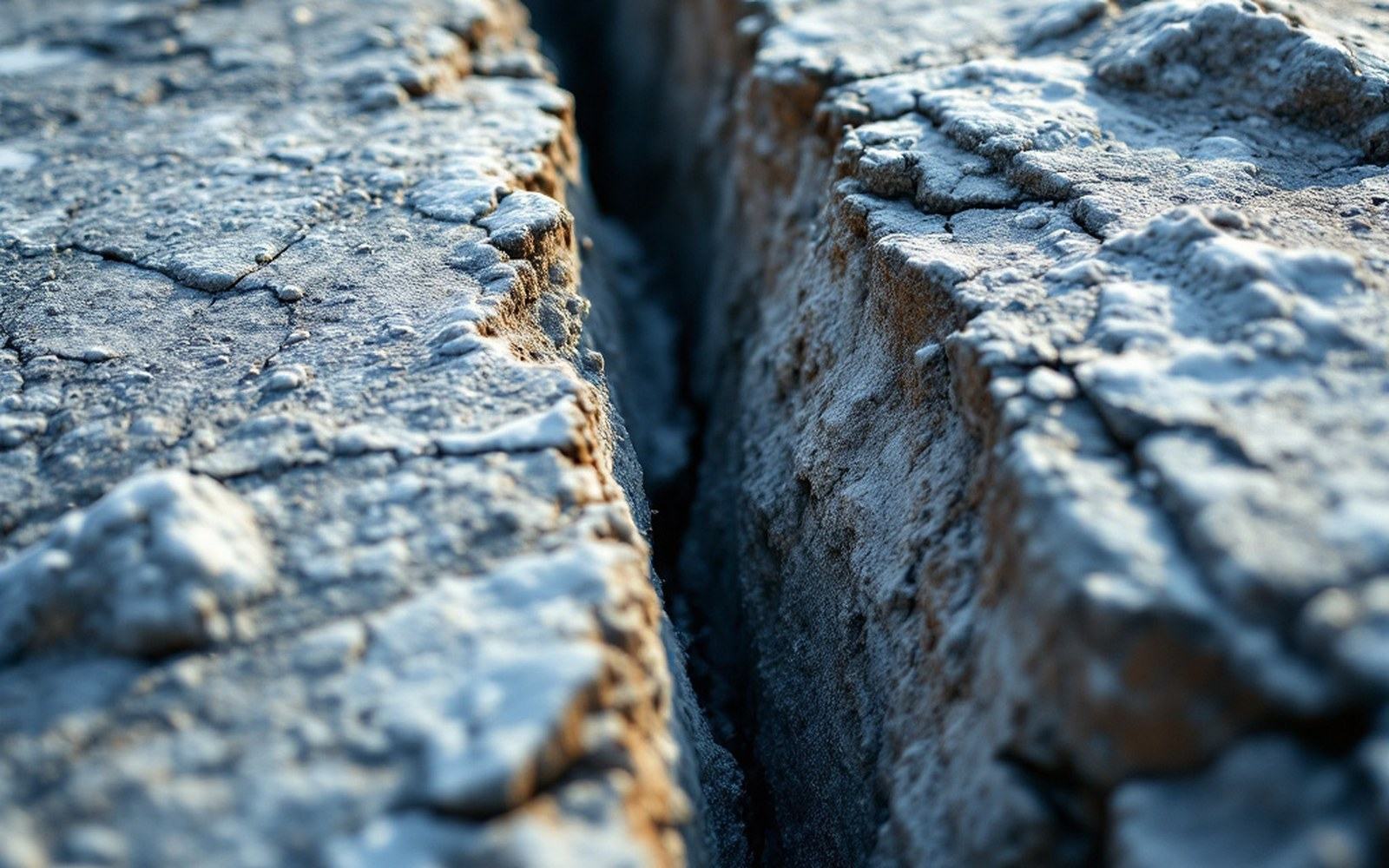
The Good Friday earthquake of 27 March 1964 reached magnitude 9.2 and reshaped coastline hundreds of miles away. The second largest earthquake ever recorded
Northwestern Alaska — the corner of the state that includes the De Long Mountains, the Wulik watershed, and the coast at Kivalina — is not on the subduction zone itself. The trench is far to the south and west. But seismic energy from Aleutian events travels efficiently through cold, rigid lithosphere, and a large enough event anywhere on the arc will be felt here. More locally, the Brooks Range and the terrain around it have their own fault systems, and crustal earthquakes in this region occur independently of the subduction zone, though rarely at comparable magnitudes.
The practical consequence for infrastructure in this part of Alaska is that building codes, foundation design and slope-stability assessments all carry a seismic component derived from the Aleutian hazard maps. Structures built on permafrost already require careful engineering because ground ice affects bearing capacity; add a seismic load, and the design constraints multiply. Gravel pads, which are the standard foundation technique in this region, are in part a seismic response as well as a thermal one — a thick, well-compacted pad dampens differential movement in a way that direct soil contact does not.
The scale question
It is worth holding the numbers for a moment. Magnitude 9.2 releases roughly 2,000 times more energy than a magnitude 7.0. The Aleutian arc has produced multiple events above 8.0 in the twentieth century alone — 1938, 1946, 1957, 1964, 1965 — a rate that reflects how fast the Pacific Plate is moving and how long the locked interface extends. The USGS Earthquake Hazards Program maintains the catalogue and the probabilistic hazard models that downstream agencies use for building standards and emergency planning.
For a coast already managing later sea-ice formation, accelerating erosion, and the logistical constraints of a short shipping window, a large seismic event would not arrive in isolation. It would arrive into a landscape already under stress. The monitoring network does not prevent that, but it provides the few minutes of warning that can matter, and it produces the long data record on which future hazard assessments depend. In a region this remote, with infrastructure this concentrated, that record is not background science — it is an operating condition.