What happened on 27 March 1964
At 5:36 in the afternoon on Good Friday, a rupture began beneath Prince William Sound at a depth of roughly 25 kilometres. The fault plane that slipped was enormous — approximately 800 kilometres long and 250 kilometres wide — and the displacement was measured not in centimetres but in metres. Anchored on the Pacific Plate, the seafloor lurched beneath the North American Plate and released energy equivalent to the simultaneous detonation of roughly ten thousand Hiroshima bombs. The shaking lasted four and a half minutes, which is an eternity in seismic terms; most destructive earthquakes are over in under a minute.
The magnitude 9.2 Alaska earthquake is the largest seismic event ever recorded in North America and the second largest anywhere on the instrumental record, surpassed only by the 1960 Valdivia earthquake in Chile at magnitude 9.5. The Moment Magnitude scale did not yet exist in 1964 — the event was originally assigned a Richter magnitude — but later reanalysis using modern methods settled on 9.2 as the consensus figure. Each whole number on the scale represents roughly 31.6 times more energy released than the number below it; the difference between a 7.0 and a 9.2 is not incremental.
The epicentre was located approximately 120 kilometres east of Anchorage and about 90 kilometres west of Valdez. Anchorage took severe structural damage: the Turnagain Heights neighbourhood experienced catastrophic landslide as saturated clay layers liquefied and roughly 75 city blocks collapsed toward Cook Inlet. Government Hill, Fourth Avenue — both slid. The death toll from shaking alone would have been higher had the earthquake not struck on a holiday evening when downtown offices were empty.

The Aleutian subduction zone produces the largest events, and the monitoring network across the state exists because of it. The Aleutian trench is why this happens
How the ground itself changed shape
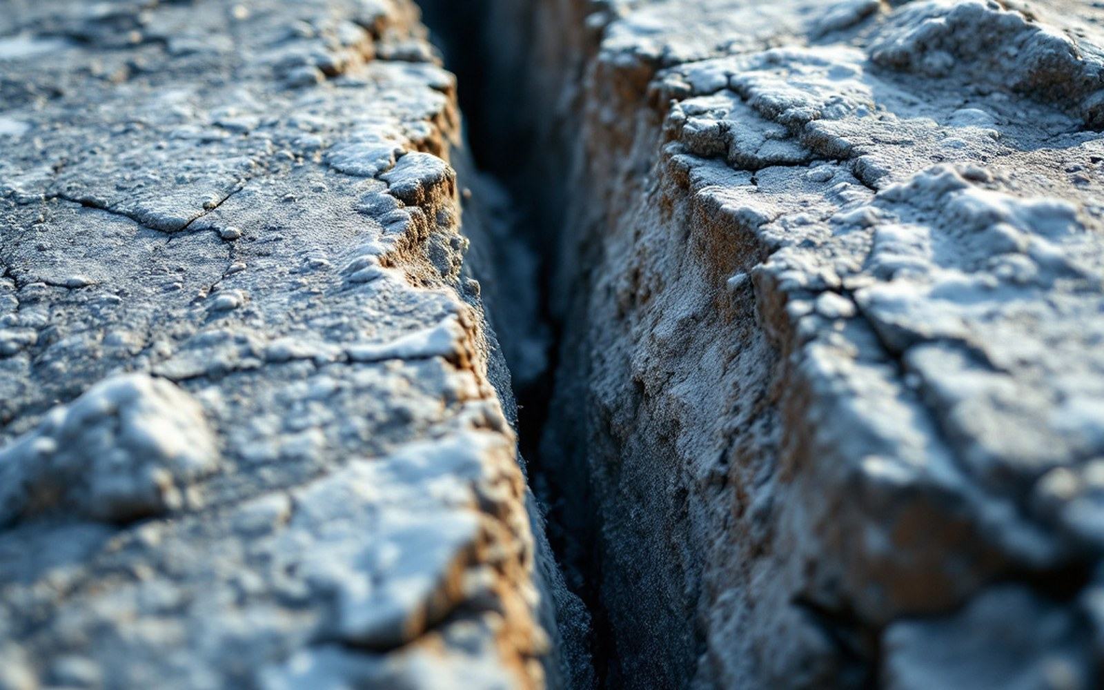
What distinguished the 1964 event from most large earthquakes was the scale of permanent land deformation. Tectonic uplift and subsidence affected an area larger than many European countries. The Kenai Peninsula rose by as much as two metres in some locations; Kodiak Island and parts of the Alaska Peninsula dropped, submerging coastal spruce forests that had stood for centuries — the drowned tree stumps remained visible at low tide for decades afterward and became one of the most-reproduced images of the event. Montague Island, sitting directly over the fault, was thrust upward by as much as nine metres in places, the greatest coseismic uplift recorded anywhere on Earth to that point.
Valdez, built on a glacial outwash delta, watched its waterfront disintegrate. A submarine landslide carrying millions of tonnes of sediment detached from the delta front during shaking, generating a local wave that destroyed the dock and killed longshoremen working there. The town was subsequently relocated to more stable ground several kilometres away. Seward suffered similarly — its waterfront slid into Resurrection Bay, fuel tanks ignited, and a fire burned on the water.
The tsunami generated by the fault rupture compounded the destruction. Unlike tsunamis generated by submarine landslides, which dissipate quickly, a megathrust tsunami carries energy across entire ocean basins. Waves from the 1964 event struck Crescent City in northern California — where they killed eleven people — and caused measurable sea-level changes as far away as Antarctica. In Alaska itself, the village of Chenega in Prince William Sound lost a third of its population to the wave. The tsunami warning infrastructure that now spans the Pacific was substantially expanded in the event's aftermath; the 1964 earthquake is a founding document of modern tsunami preparedness.
The reach of the wave and the record it left
Because the rupture zone was elongated northeast to southwest along the continental margin, the tsunami energy was directed most strongly toward the open Pacific and southward along the North American coast. Communities along the Gulf of Alaska had almost no warning time — the wave arrived within minutes of the shaking — while Hawaii had several hours and chose, in most locations, to evacuate successfully. Kodiak was struck by multiple wave crests; the harbour was destroyed and fishing boats were deposited in the streets.
What distinguished the 1964 event from most large earthquakes was the scale of permanent land deformation.
The record this earthquake left is not only physical. The event transformed seismology's understanding of subduction zone mechanics. The concept of megathrust earthquakes — enormous, shallow, reverse-fault ruptures at convergent plate boundaries — was not yet standard in 1964; the 1964 Alaska earthquake, along with the 1960 Chile event, provided much of the observational basis for plate tectonics theory as it was formalised through the late 1960s. Before these events, the scale of energy release that subduction could produce had been largely theoretical.
The Aleutian subduction zone, where the Pacific Plate dives beneath North America along an arc stretching from the Alaska Peninsula toward Asia, remains one of the most seismically active margins on the planet. The 1964 rupture did not exhaust its potential; strain accumulates continuously as the plates converge at roughly five to seven centimetres per year, and the section of the arc that did not rupture in 1964 carries its own unresolved stress. The Alaska Earthquake Center at the University of Alaska Fairbanks maintains the monitoring network that documents this accumulation, running seismic stations across a region where the next major event is not a question of if but of when and where.
What it means for the land around the Wulik
The 1964 earthquake was centred more than a thousand kilometres southeast of the Wulik watershed, and the region around Kivalina and Kotzebue did not experience the coseismic deformation or tsunami that reshaped the Gulf of Alaska coast. But the tectonic context is shared. Northwestern Alaska sits on the North American Plate above a subduction system whose largest historical expression was the event of 1964, and seismic risk is part of the engineering baseline for every structure built on this coast.
That baseline matters practically. The Red Dog Mine's tailings impoundment, the road that runs from the mine to the coast, the port facility where concentrate is lightered to waiting vessels — all are engineered to seismic specifications drawn from a hazard record that 1964 anchors. The USGS National Seismic Hazard Model assigns probabilistic ground-motion values to every part of Alaska, and those values feed directly into the structural standards applied to industrial infrastructure in the region.
The coast around Kivalina is eroding faster than it was fifty years ago, and the causes are well documented: later shorefast ice formation, longer open-water storm seasons, warming permafrost. Seismic risk is a different kind of constraint, operating on a different timescale, but the 1964 event established that coastline in this part of the world can change permanently in under five minutes. The studies that have examined Kivalina's relocation since the 1990s work within a landscape that the instrumental record confirms is not static — not from climate, not from the sea, and not from the ground itself.